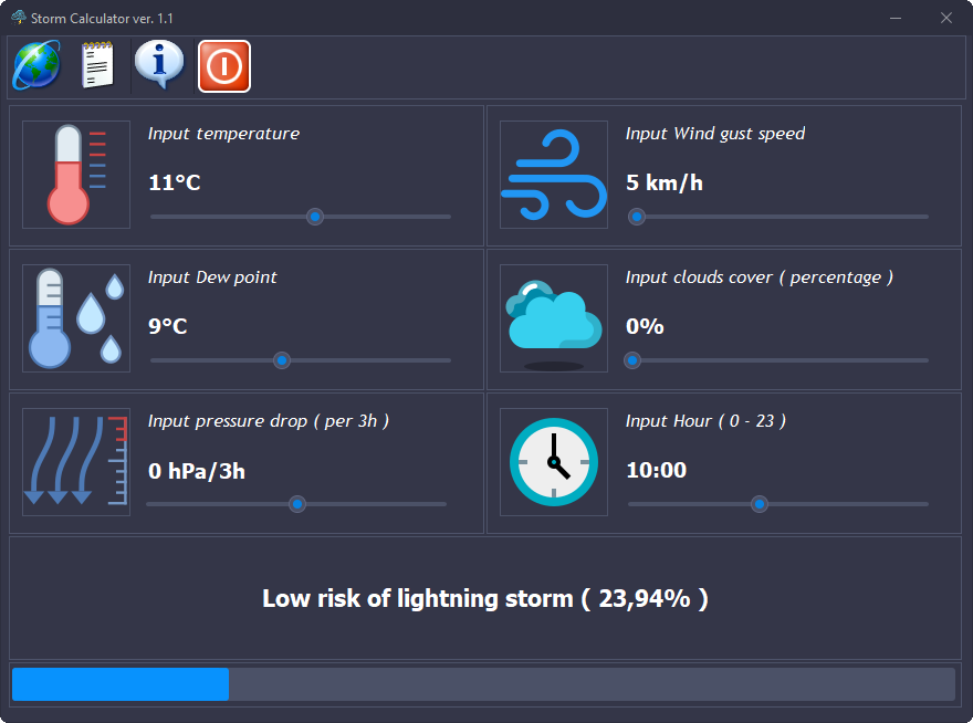
Storm Calculator
A downloadable tool for Windows
Methodology for Forecasting Thunderstorms and Atmospheric Discharges
1. Physical Foundations of Thunderstorm Formation
To effectively forecast a thunderstorm, meteorologists evaluate the atmosphere based on three key factors:
- Thermodynamic Instability: Occurs when warm, moist air is trapped near the surface with cooler air situated above it.
- Moisture: Adequate water vapor content in the lower troposphere is essential for the formation of Cumulonimbus (Cb) storm clouds.
- Lifting Mechanism (Trigger): An impulse that forces the air to move upward (e.g., an atmospheric front).
2. Key Indicators and Convective Indices
- CAPE (Convective Available Potential Energy): Measures the potential strength of updrafts.
- CIN (Convective Inhibition): The amount of energy an air parcel must overcome to begin rising freely.
- LI (Lifted Index): Temperature difference between the environment and an idealized rising air parcel.
- Wind Shear (DLS): The change in wind speed and direction with height.
3. Modern Detection and Forecasting Tools
- Lightning Detection Systems: Ground-based networks of sensors detecting electromagnetic waves (e.g., PERUN, Blitzortung).
- Weather Radars: Used to gauge precipitation intensity (reflectivity) and mid-level storm rotation (Doppler effect).
- Meteorological Satellites: Monitor cloud top temperatures and detect optical flashes from orbit.
- Vertical Soundings: Profiles of temperature and humidity obtained via weather balloons.
4. The Storm Forecasting Process
- Large-Scale Analysis (24-72h ahead): Global models (GFS, ECMWF).
- Mesoscale Analysis (6-24h ahead): High-resolution regional models (WRF, COSMO).
- Real-Time Verification (0-6h ahead): Analyzing morning vertical soundings.
- Nowcasting: Tracking active cells in real-time and issuing immediate warnings.
Summary
While forecasting thunderstorms as organized convective systems is highly accurate thanks to sophisticated mathematical
modeling, predicting the exact location of an individual lightning strike ahead of time remains physically impossible due
to the chaotic nature of micro-scale processes within a cloud. Forecasts define the probability of lightning within a specific
area, while detection networks serve to provide immediate alerts once the hazard has developed.
Download
Click download now to get access to the following files:
Leave a comment
Log in with itch.io to leave a comment.